
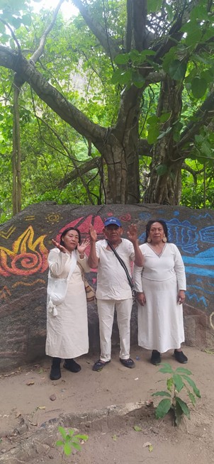
The Program for the Creation of a Protected Natural Area in the Narakajmanta Indigenous Territory aims to establish a legally recognized conservation zone covering 9,800 hectares within a broader 40,000-hectare indigenous landscape in the Sierra Nevada de Santa Marta, Colombia. The program responds to critical environmental and sociopolitical challenges, including accelerated biodiversity loss, illegal wildlife trafficking, ecosystem fragmentation, and climate-induced deforestation, in a territory inhabited by 5,000 indigenous Narakajmanta people.
This territory, historically excluded from conservation processes due to the presence of armed groups such as ELN and paramilitaries, has become accessible for ecological restoration only after the 2016–2020 national peace agreements. The area presents a high concentration of Critically Endangered species, including the Variegated Spider Monkey (Ateles hybridus), Santa Marta Wren (Troglodytes monticolus), and Red-crested Tree Rat (Santamartamys rufodorsalis), all endemic to the region and facing imminent extinction due to habitat degradation and poaching.
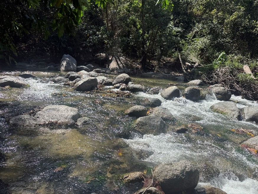
Key threats include the monthly trafficking of approximately 308 wild animals, extracted from over 90 identified illegal biodiversity supply points in a 14,400-hectare corridor. Simultaneously, slash-and-burn agriculture eliminates 32 hectares of forest monthly, while climate change exacerbates land degradation through soil erosion depths of 1.6–2.0 meters, resulting in the permanent loss of topsoil and fertility in many sectors. Forest cover loss has reached 75%, and the territory is under growing pressure from illegal gold mining operations that introduce mercury into riverine ecosystems.
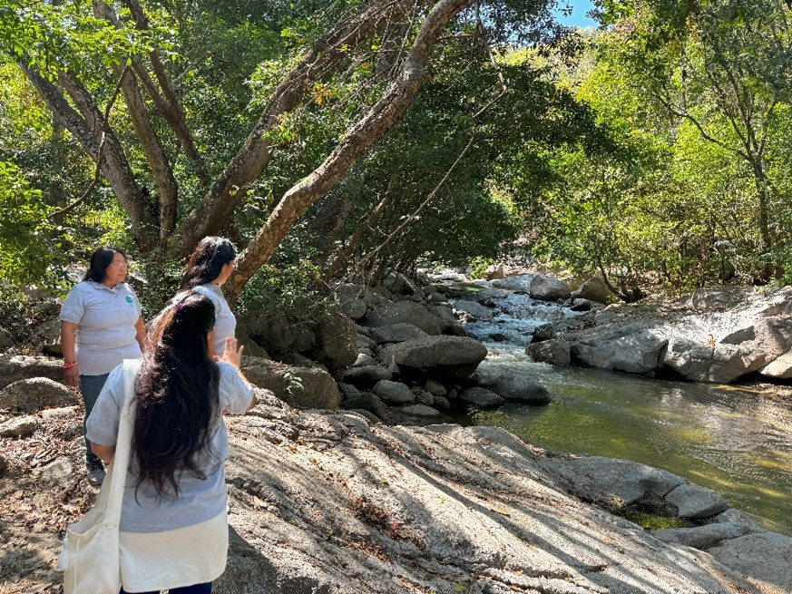
The program adopts a spatial planning methodology rooted in GIS-based habitat suitability modeling, identifying ecological corridors and buffer zones that will restore landscape connectivity. These tools integrate elevation (100–680 masl), vegetation phenology, water availability, and anthropogenic pressures such as road and population density. Priority zones for restoration are selected based on multispectral raster analysis, with corridors defined using Cost Distance, Cost Path, and Cost Back Link tools in ArcGIS. Buffer areas of 30–100 meters are delineated to protect riparian zones and forest edges. A total of 300 indigenous families—including 2,600 women, 2,300 men, and 100 non-binary individuals—will directly benefit. The program focuses on sustainable alternatives such as forest-based tourism, wildlife observation, community ranger training, and non-timber forest product development. It is implemented by Environmental Women ORG, in alliance with the Narakajmanta Indigenous Tribal Council (governmental authority in the territory) and the Association of Women Victims of Violence – Débora, which contributes gender-focused technical assistance.
This initiative strengthens Indigenous territorial governance while contributing to national and international conservation targets, including IUCN Red List species protection, climate adaptation under the Paris Agreement, and post-2020 Global Biodiversity Framework Goals. It represents a replicable model of ecofeminist, rights-based conservation rooted in Indigenous autonomy, ecological science, and geospatial precision.
+ There are no comments
Add yours